

Membership
Our hikes are open to the public at no cost. You can hike with us for free any time. However, if you want to be on our email list and become a bona fide member, membership dues are only $10 per year per household, payable each January. Some members of the club act as coordinators .............click here to read more.

Friends of the Umpqua Hiking Schedule
April 9 – April 12, 2025 Upcoming hikes at a glance… We hike every other Saturday! Apr 9 Hiking Planning Meeting (Roseburg)Apr 12 Buck Rock Tunnels (Ashland) To view details of all upcoming hikes, go to our Events page on Facebook.You will find the most up-to-date information on our scheduled hikes there. Difficulty Levels: TOTAL .............click here to read more.

Hike Guidelines
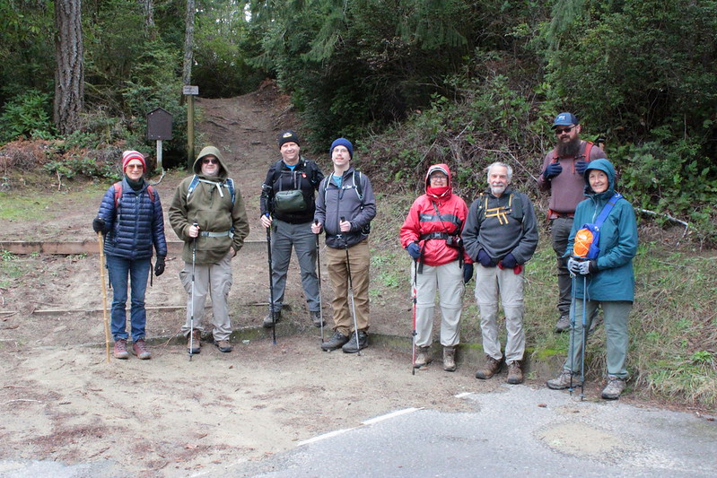
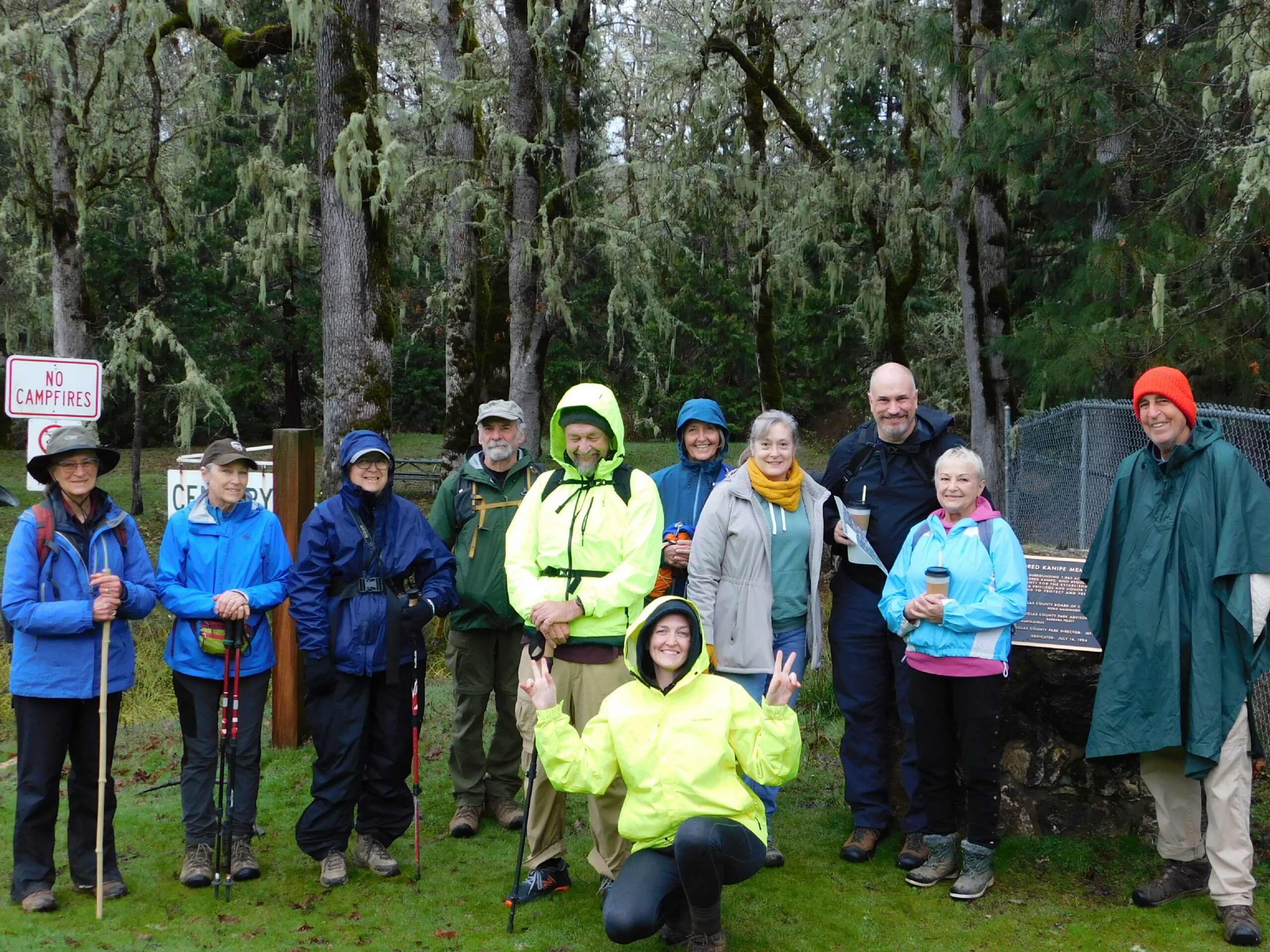
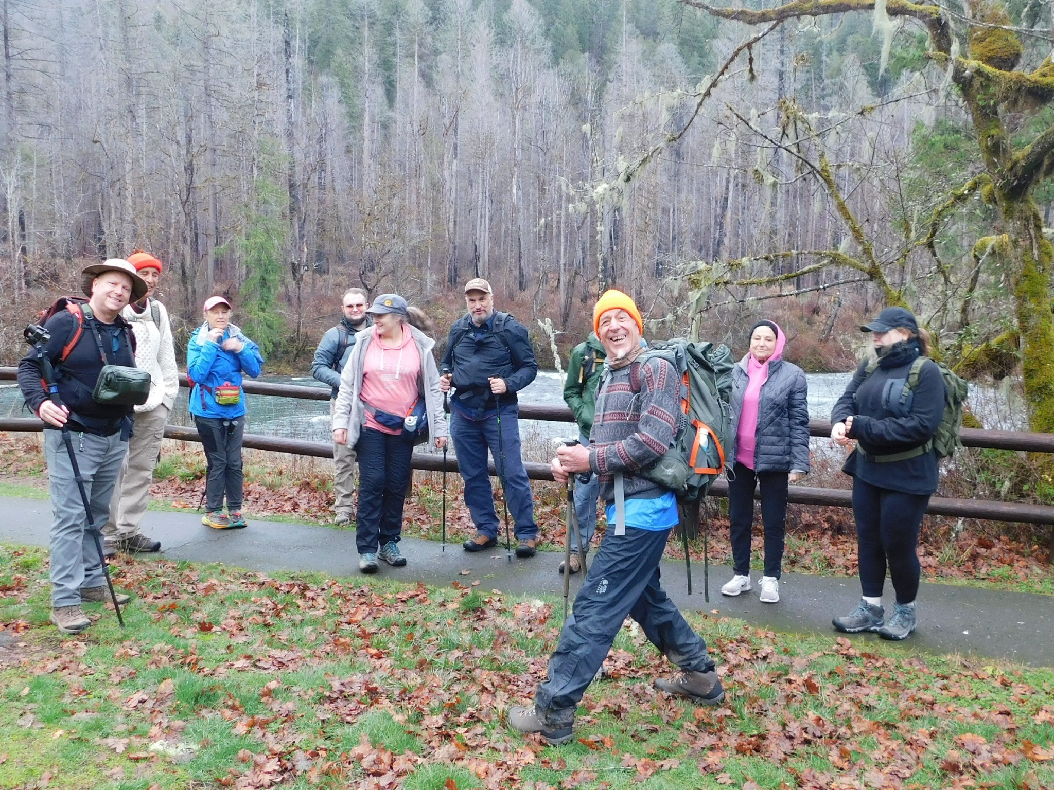
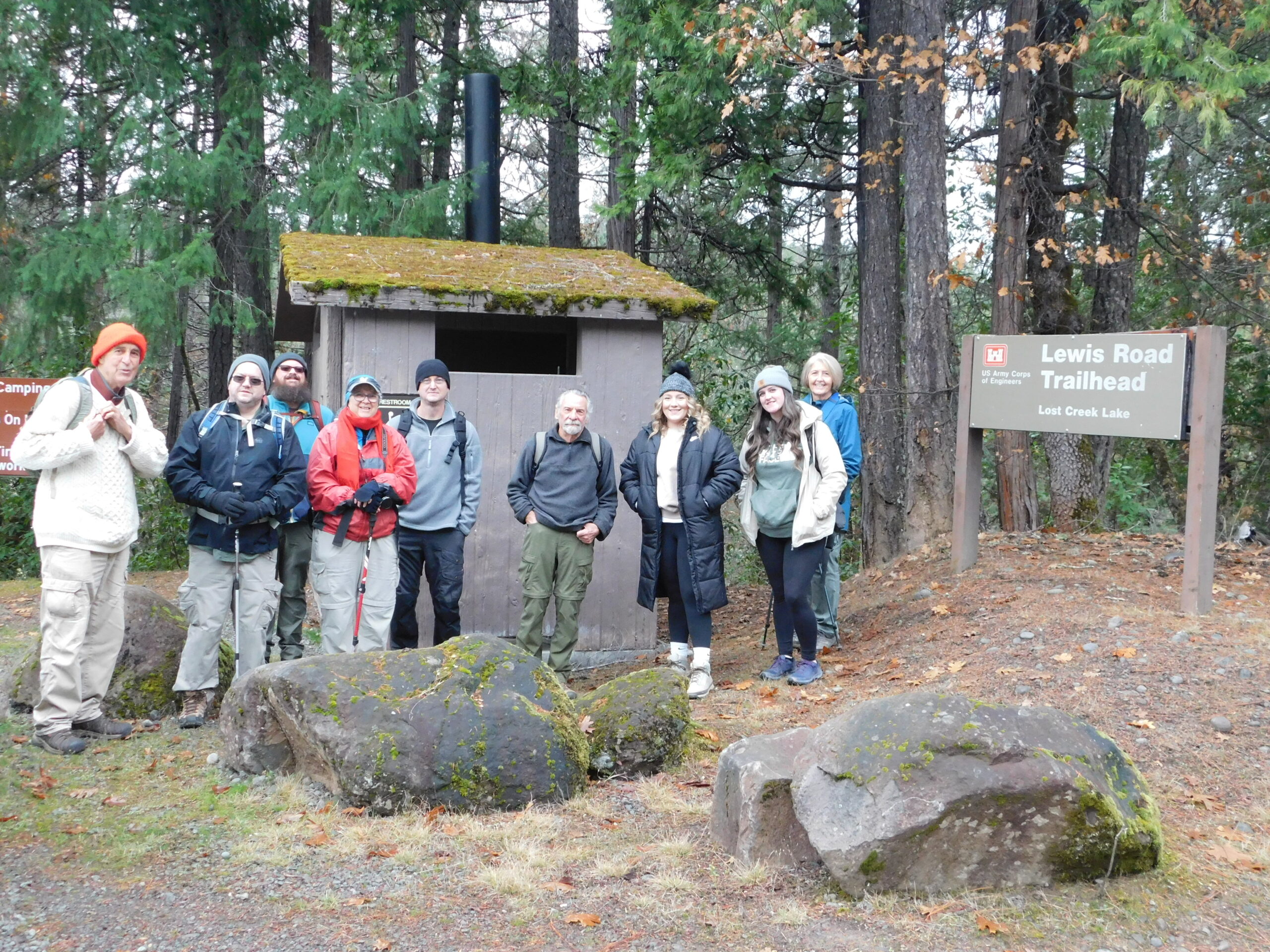
“Friends of the Umpqua” is a hiking club for people who enjoy being in the out-of-doors and sharing the benefits of group outdoor activities. FOU hike coordinators are not “leaders” but are volunteers who help organize and advise participants in specific FOU group activities. Participants will be required to sign a SignInWaiver before each hike. Carpooling .............click here to read more.