Sterling Mine Ditch Trail – April 6, 2019

Hike Coordinator Richard O’Neill

Narration by Richard O’Neill

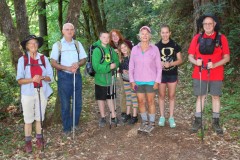
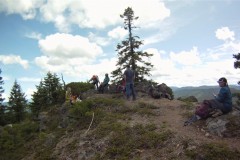
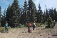
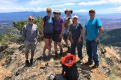
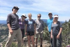
Another hike, another rainy day forecast. However, we really skated weatherwise because the only rain on the day was on the drive to and from the hike. The day was overcast and the temps cool and just perfect for hiking.

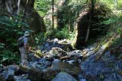
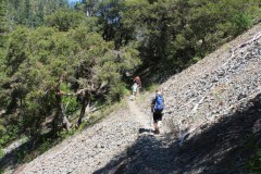
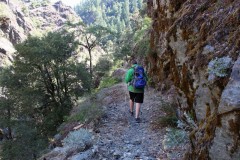
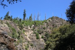
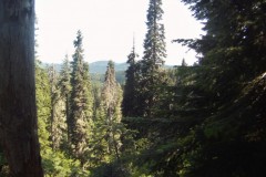
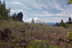
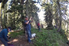
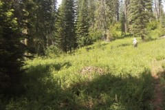
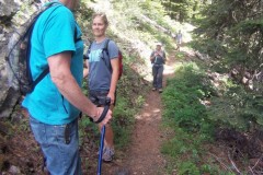
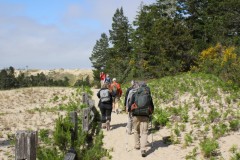
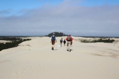
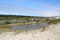
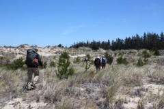
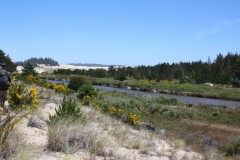
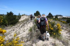
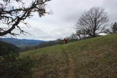
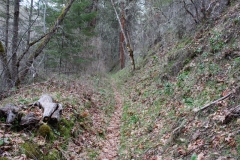
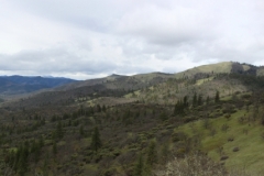
Sterling Mine Ditch is the remnants of a flume ditch hewn into grassy slopes, the purpose to siphon water into the hydraulic and placer mining activities in the late 1800’s. Today, the ditch is still eminently visible and its banks make for a nice trail for the hiking and mountain biking crowd. The steady grade means the trail is mostly level, although there was a pretty good uphill pull when the route left the ditch and contoured around some private property.

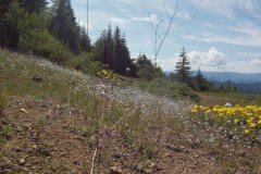
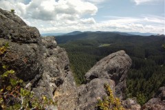
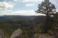
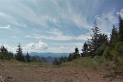
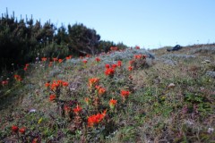
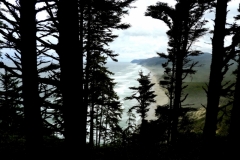
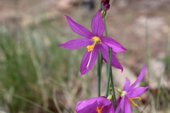
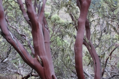
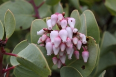
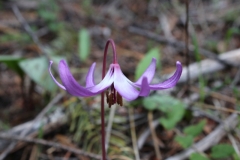
The windblown slopes were sparsely vegetated, consisting mostly of yet leafless oaks, madrone, and manzanita, but mostly it was grass. The lack of vegetation allowed for what normally would be expansive views of the Siskiyou Mountains. We could see down the deep Little Applegate valley all the way where it joined up with the much larger Applegate Valley. Wildflowers were beginning to bloom and we all enjoyed our first look at the elegant grass widows and Henderson’s fawn lily.

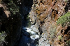
At about the 5 mile mark, we stopped to visit the Sterling Mine Ditch tunnel. Because Tunnel Ridge was too formidable an obstacle to dig a ditch around, a tunnel was cut into the intervening ridge. We all felt sorry for the workers (mostly Chinese laborers) who did the actual work of boring through the ridge.

A short walk down the exceedingly beautiful Tunnel Ridge Trail delivered us to the end of this hike.

More about this hike on Richard O’Neill’s Blog

More pictures on Richard O’Neill’s Flickr page

Pictures below by Richard O’Neill

Applegate Lake Payette Trail – March 23, 2019

Hike Coordinator: Richard O’Neill

Narration by Richard O’Neill

It’d been a long time since the club had hiked on the east side of Applegate Lake so it was about time. It was a sparsely attended hike, bad weather was in the forecast, but the 4 of us were pleasantly surprised with balmy temps and no rain. The Payette Trail follows the shore of the lake, ducking in and out with all the coves and bays the lake serves up on its erratic shoreline. Unlike the trails here in Douglas County, the Payette Trail was mostly fallen-tree free and clear. The trail alternated between madrone forest and brushy manzanita near the lake’s waters. Or what little water there was, the lake was still drawn down for the winter.

Amazingly, we were catching little patches of sunlight but all that came to an end when we plopped down for lunch at naturally, the farthest point away from our car. We could see the storm coming, a veritable black wall of angry cloud swooping down from the hidden Siskiyou Mountains. Sure enough, the storm announced its arrival with several minutes of strong gusty wind followed by a steady rain for the rest of the day.

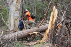
To shorten our time in the rain, we took the Osprey Trail shortcut which went up and over a forested ridge and we did encounter one rather large tree laying on the trail and blocking the way. It was a pretty sodden bunch of hikers peeling off wet clothing and muddy boots but as usual, we enjoyed the hike and felt sorry for all those that stayed at home in a warm dry house.

More about this hike on Richard O’Neill’s Blog

More pictures on Richard O’Neill’s Flickr page

Pictures below by Richard O’Neill

Mildred Knipe Park – February 23, 2019

Hike Coordinator – Richard O’Neill

The rain was coming down faster than a wingless duck, so my camera stayed dry inside the car. Sorry, but no pictures! It didn’t really let up either and the sound of the rain hissing in the forest and tapping on hat brims was a constant. However, the 5 of us that dared to hike in the wet conditions didn’t mind and we headed uphill underneath all the elegant oaks that make this park such a prime hiking destination.

I had sort of envisioned a 10 mile’ish route but after closing the Fern Forest loop and the Mildred’s Trail loop, we were delivered into the bottom lands that were under a couple of inches of water. Bachelor Creek was flowing rather robustly, effectively cutting us off from the remainder of the intended route. So, we splashed and splooshed our way back to the car, settling for a 6 miler which wasn’t bad at all, considering the conditions. The next day the Snowpocalypse of 2019 started and THAT would have been an interesting hike!

North Umpqua Trail: Tioga Segment – January 26, 2019

Hike Coordinator: Lane Harris

Narration by Lane Harris
NOTE: This hike was not originally posted here after it occurred, it is being posted late.


This was 9 mile hike from Wright Creek to Susan Creek. 15 people joined us for this hike, which went through a recent burn area from a few years ago. There was still plenty of greenery though, as well as rushing water from creeks and streams.

Read about this hike on Richard O’Neill’s Blog

More pictures on Lane Harris’ Flickr page and Richard O’Neill’s Flickr page

Pictures below by

North Bank Habitat – December 29, 2018

Hike Coordinator Brad Bishop.

Charles and John had met me at the government building and Bill and his son were actually hiking from their house (now that’s dedication), to meet up at the Comstock parking area on the East Entrance. As we approached the clouds gave way to some glorious winter sunshine. Well at least it wouldn’t be freezing.     

Driving through the thick, cold fog to the North Bank Habitat I was wondering just how miserable this hike could get. I remembered from last year it seemed like a big ‘mud march’. I mean after all, this is Oregon in late December.

We passed Bill and his son as they were almost to the parking area. We got our packs on and started up the Soggy Bottom Road Trail headed to the Boundary Road. It was amazing, hardly any mud and a temperature in the high 50’s to low 60’s I estimate. It was perfect hiking weather. I may be wrong but it seems they may have repaired some of the trail from last year, (that and a lack of rain). 

Along the way we were entertained with a couple of deer sightings and a cacophony of shot gun blasts from the turkey hunters along with the beautiful sunshine. Surprisingly it seemed that the cattle were absent this year, but signs that they had been there fairly recently were fairly abundant as we stepped over them.

We had a quick lunch a short ways down the Boundary Road and noticed clouds advancing from the west. It was still very comfortable to hike in shirt sleeves as we headed back down and around to our vehicles. The loop lasted about 3 1/2 Hours and we figured about 8 miles. Overall it was a very enjoyable and refreshing way to end the year. Make sure you join us on our next foray into our natural wonderland.

Pictures by Brad Bishop

North Umpqua Trail Marsters Segment – December 1, 2018

Hike Coordinator Diana Pace.

 The trail guide says it’s 3.6 mi but the trail sign says 4. Being December, the trail was crunchy with ice and frozen plants. We were greeted by sugar pines that survived the devastating 2017 fire, however there were burnt trees of all sizes all along the way. The guide describes old growth Douglas-fir over 800 yrs old. I think some of them survived because way up high the crowns were green. I saw an Eagle at the spawning beds near the trail head. 

Pictures by Diana Pace

North Umpqua Trail (Mott and Panther Segments) – November 3, 2018

Hike Coordinator Richard O’Neill

It was a damp and sodden day that greeted 8 hikers lacing up their boots at the Panther Creek Trailhead. Fortunately, all the dampness was on the ground and vegetation and rain never materialized on this hike.

From the trailhead, the trail ambled up and down across a steep and forested slope high above the North Umpqua River. It was the tail end of autumn and while there were little or no leaves on the trees but there were several inches of leaf detritus upon the trail. It was like following the “Yellow Brick Road” except the bricks were leaves instead.

After nearly 5 miles of hiking in or through dead leaves, ferns, trees, mushrooms, etc., the Panther Segment came to an end and all hikers completing the segment decided to continue on with the Mott Segment. The Mott, unlike the Panther, tends to stay close to the river and we enjoyed views thereof.  Numerous creeks ran across the trail and we still got to walk in or through dead leaves, ferns, trees, mushrooms, etc. We all enjoyed our 11 miles of hiking along the river and through the forest, thankful that it didn’t rain when it looked like it could.

Pictures by Richard O’Neill


Upper Rogue River Trail – October 20, 2018

Hike Coordinator Richard O’Neill

With our Cascades being overly populated with firs, cedars, and pines, autumn can be not very autumny. So, if you want to see fall colors, you have to go where the vine maples grow, which generally will be next to a river, creek, or lake. One of the best places to observe the fall colors is on the Upper Rogue River, so we piled into our vehicles and made the trek to the Rogue River Gorge parking lot.

Seems we missed the peak of the vine maple display but no worries, dogwood stepped up to the plate, so to speak. The trees were bright red and pink, contrasting nicely with the cobalt blue sky above. And just in case the fall colors were not enough reason to enjoy this hike, the Rogue River was always nearby, alternately running calm and reflective, or running turbulent and noisy.

We walked south along the river and crossed over on a wooden footbridge spanning the river raging in a narrow defile carved into the surrounding lava bed. Past the bridge we were greeted with the only uphill portion of the hike as the trail went up and over a forested ridge bright with autumn plumage.

We turned around at Natural Bridge, where the Rogue River disappears into a lava tube, only to reappear about 75 yards downstream, where it exited its subterranean conduit. We ate lunch there and enjoyed the sunny side of the river and colorful trees for the remaining 4 miles of this hike.

Pictures by Richard O’Neill

Cliff and Buckeye Lakes – October 6, 2018

Hike Coordinator Edwin Case

Five hardy hikers braved the possibly wet weather for this hike. We almost didn’t reach our destination because on the drive to the trailhead, where the bridge crossing the South Umpqua River used to be was no bridge at all. There were no signs to direct drivers to an alternate route to Skimmerhorn Trailhead, either.

Working on a combination of guesswork, divination, and blind luck, Edwin found a brand new bridge crossing several miles further up the road and it was “hike on” at that point.

This area had been closed last year because of fire but except for one spot, there was no evidence of fire damage. Fortunately, landslides (which are a common occurrence after a fire) was not an issue either. Scenic Highrock Mountain, which looms over Fish Lake had clearly received the brunt of the fire’s fury.

The weather had been threatening and the threat was made good at the start of the hike as we began hiking under a light rain. However, it soon let up, only to return again when we reached Buckeye Lake. We were soon soaked, not from the rain, but from the water-soaked vegetation encroaching the trail.

This late into a long and dry summer, Buckeye and Cliff Lakes were much lower than normal. They were still scenic though, and after eating lunch at Buckeye Lakes, we turned around and enjoyed the lake scenery all over again.

Pictures by Brad Bishop

Scroll Up