Hike Coordinator – John Malone
Heceta Head – March 24, 2018
Hike Coordinator – Richard O’Neill
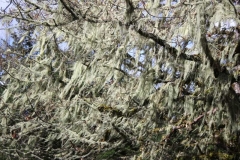
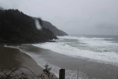
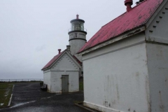
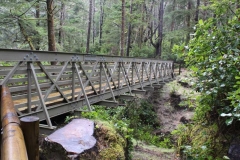
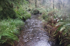
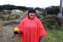
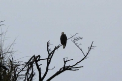
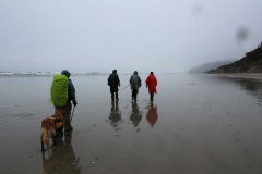
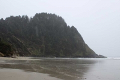
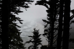
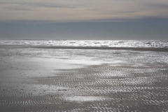
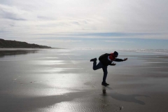
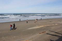
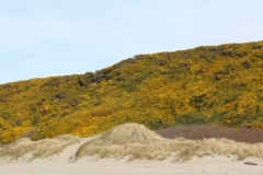
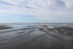
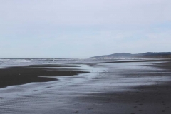
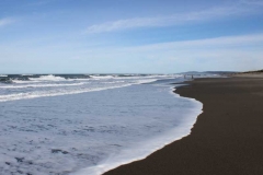
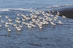
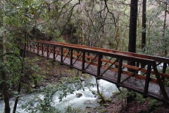
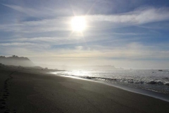
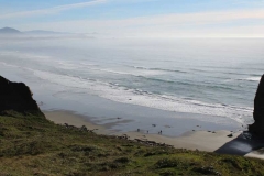
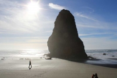
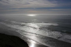
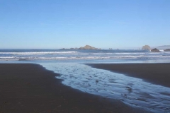
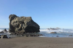
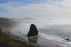
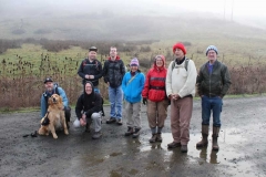
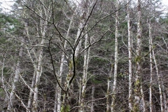
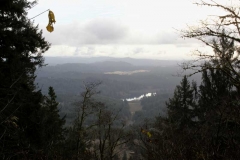
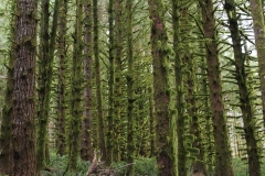
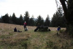
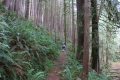
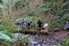
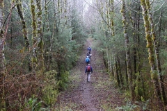
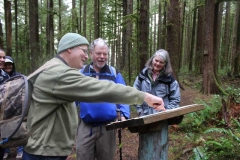
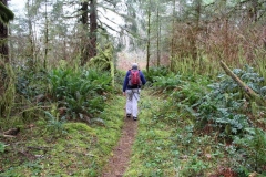
Only 5 of us showed up for this hike while all you fair weather namby-pambies stayed home warm and dry. But hey, at least there weren’t any gale force winds like last time! This hike was wet as a steady rain fell on our hat brims the entire day. But there is something about the hiss of a forest when it rains and the hike had that vibe. After picking our way up and over Heceta Head on a trail that was slippery and muddy, we grabbed the Hobbit Trail to the beach. Probably because of the rain (ya think?), we had the entire beach to ourselves except for one lone bald eagle on a dead tree. The return from Carl Washburn State Park was through woods dark, wet, and lovely. Because we were having so much fun, we grabbed the China Creek Trail for extra mileage and time spent in the rain. After the hike was over, we all decided we had a lot of fun and to man (and woman), we decided to feel sorry for all those stay-at-homers who missed out on this epic.
Pictures by Richard O’Neill
East Applegate Ridge Trail – March 10, 2018
Hike Coordinator – Richard O’Neill
The East Applegate Ridge Trail is a small piece of a very ambitious trail project that will make it possible to hike from Grants Pass to Ashland on continuous trail. If the rest of the trail is as spectacular as this 5.8 mile section, then the club will be doing a lot more hikes down in the Siskiyous.
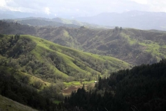
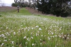
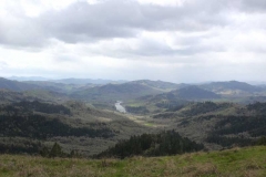
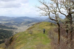
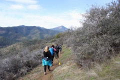
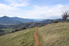
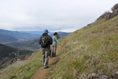
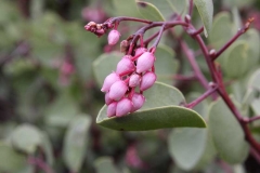
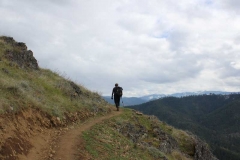
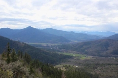
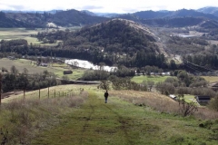
We had hoped that the spring flowers would be putting on a show for us but we were still too early in the season for that stuff. But that’s OK, because really, this hike was all about the views. From the get-go, the trail served up a view down Bishop Creek’s canyon.
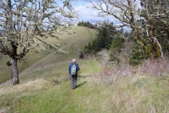
Spending most of the time out on open grassy slopes, the views evolved as we looked down upon the community of Ruch, surrounded by tall mountains which in turn, were surrounded by the taller Siskiyou Mountains.
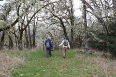
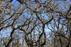
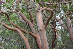
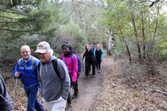
Periodically, the trail would duck into forests comprised of leafless oak and orange-barked madrone. There is plenty of poison oak in abundance but the trail is well maintained and the itchy devil-plant has been brushed well away from the trail.
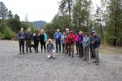
This hike was set up as a one-way downhill cruise, uncharacteristically easy for a Richard Hike, however about half the hikers opted for a long version which served up 4 uphill miles at the end. But that’s OK, because the long distance hikers had twice the pleasure, or so they keep telling everybody.
All in all, another great hike that surely will become a semi-regular destination for the club.
Pictures by Richard O’Neill
Bullards Beach to Seven Devils – February 10, 2018
Hike Coordinator – Richard O’Neill
The day after this hike, cold, rain, snow, slush, wind, and sleet came to stay for an extended visit that really curtailed hiking festivities for the time being. But on this Saturday at Bullards Beach, who really cared about all that? The weather was fantastically sunny, albeit a bit on the chilly side.
This was an 8’ish mile beach walk from the Coquille River Lighthouse at Bullards Beach to Seven Devils picnic area. Joined by our Coos Bay hiking friends we were nearly 20 hikers strong and it didn’t take long for the group to sort itself out into power-hikers and beachcombers.
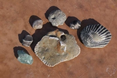
There was plenty of rocks and shells to provide for some quality beachcombing and soon our packs were weighted down with collections of fossilized clams, polished glass, and petrified wood.
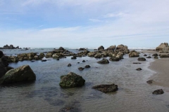
Besides the general beach ambience of the hike, we marked the miles with 4 landmarks: Cut Creek, Whiskey Run Creek, Fivemile Point, and Twomile Creek. Fivemile Point was the coolest, what with a very low tide exposing all manner of rocky tidepools.
All in all, quite an enjoyable hike on the beach on the last sunny day for a long, long, time.
Pictures by Richard O’Neill
Rogue River Graves Creek to Whisky Creek Cabin – January 27, 2018
Hike Coordinator – Brad Bishop
Two carloads of hearty hikers braved the cold, the Rogue and a rookie hike leader on our Graves Creek to Whiskey Creek adventure on January 27. Would it snow? Would anyone be swept into the Rogue by the waterfalls we had to cross? Does Brad know where the heck he’s going? No, No and kinda.
The weather was threatening to rain, but actually did so very little. We even enjoyed an occasional burst of sunlight as we hiked our way along the precarious ridge of the gorge. With the recent rains many of the small waterfalls crossing the trail looked dangerous enough to sweep the unsuspecting into the Wild Rogue, but all of us managed to make it through with guidance from the veteran hikers, some of whom were even pointing out landmarks such as the high-water mark of a 1960’s flood.
Through tree cover and rock outcroppings we made our way to the old Miners Cabin for a cold but dry lunch. There stories of past expeditions on the Wild Rogue were told and a consensus view that if you tried to sleep inside the electric anti-bear food fence, that you would be demoted back to Bushwhacker.
After the brief respite we headed back to our starting point of Graves Creek with a sense of accomplishment, that, with our toughness, perseverance and determination we could overcome anything nature had to throw at us. Until the trail-runners passed us up, then we did’t feel so tough anymore
Pictures by Richard O’Neill
Cape Blanco – January 13, 2018
Hike Coordinator – Lane Harris
On this superbly sunny day in January, and the first club hike of 2018, Lane led over 30 (maybe 40?…) eager hikers on a hike through the inland forests and sandy beaches of Cape Blanco. Several members of the South Coast Striders hiking club made up part of the thundering horde as we all set out along the Sixes River and straight up grassy slopes with the Cape Blanco lighthouse as our first destination.
With many previous hikes at Cape Blanco under his belt, Richard took the lead, ensuring the speedy hikers did not get misplaced, what with all the many trail junctions along the way. Lane stayed at the rear of the pack, assisting some newbie hikers who had physical limitations, and who were relatively new to this hiking thing. With his encouragement, they all ultimately made it up the first steep climb, which was shortly followed by “this-was-totally-worth-it” type comments upon reaching the first viewpoint of the lighthouse and the expansive ocean beyond.
The day was glorious as hikers basked in the sun and enjoyed lunch next to the historic lighthouse atop the cape. To the north, hikers took delight in an epic vista of the Sixes River and Blacklock Point, with all manner of islands dotting a bay of blue water. To the south, a long beach arced towards Port Orford with Needle Rock being a prominent feature below the cape. A thin layer of mist clouded up the beach while it was nothing but blue skies atop the cape.
By the time everyone had finished lunch, the temperature had warmed up enough that most of us had to shed a layer or two and continued the hike with either a long or short sleeved t-shirt. At this point, light jackets were optional. With the wind light, and the sun warm, this had to be one of the most fabulous days, weather-wise, that any of us had experienced on the Oregon coast.
With the exception a few hikers, who decided to make this a 4’sh mile hike by taking the northern beach trek back to the trailhead, the rest of us continued south toward the campground. After an easy ramble along and atop the windblown bluffs, the trail entered a thick coastal forest. Once we went past the campground, a short road walk dropped us down to beach level about a mile south of Cape Blanco. To the south rose the forested mound of Humbug Mountain with the rest of the coast disappearing into the misty haze.
From here on in, it would be pretty much a beach walk back to the car, although the beach walk was bisected by the formidable redoubt of Cape Blanco. Large driftwood logs lined the beach below the yellow (gorse was blooming on the hillsides) cliffs. At the end of the beach, Needle Rock loomed, seemingly trying to pop the blue sky balloon above. We all sat and rested for a bit, gathering our strength for the steep climb to the top of the cape. There is no official trail, just a steep, muddy goat path that goes straight up! Upon reaching the intersection near the lighthouse, another steep and muddy path took us off the cape and down to the beach on the north side. A mile later, we arrived at the Sixes River. From here, we followed a sand-laden trail inland for about ½ mile back to the trailhead.
This was quite an unforgettable day that our large group experienced. 2018 was off to a great start with this wonderfully scenic hike along the beautiful southern Oregon coast.
Pictures by Richard O’Neill
North Bank Habitat – December 30, 2017
Hike Coordinator – Richard O’Neill
The North Bank Habitat, near Glide, has become our last-hike-of-the-year tradition, if the last 4 or 5 years are any indication.
The whole vibe was foggy when we started but it was a thin fog, so there was hope that the day would turn out to be sunny. We headed up the Soggy Bottom in decidedly chilly temps that were not too far off from freezing. However, because of the exertion of hiking uphill, we were soon warmed up despite the cold.
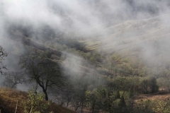
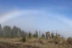
The day could never decide whether it was going to be foggy and generally hung around somewhere in between. When we arrived at the northern boundary ridge, the winter sun broke out but shortly thereafter, a fog bank rolled in, making the trees seem ghostly in the mist. But before we began dropping off the ridge, the sun broke out again and we were rewarded with a spectacular rainbow. Anyway, that was the way of it on this sunny/foggy-sunny/foggy day.
As we descended down towards the North Umpqua River, the sun broke out for mostly good and the views from the eastern ridge were about as perfect as fiddle solo in a country song. All in all, a great way to close out the year in a great hiking miles and in Roseburg’s own backyard.
Pictures by Richard O’Neill
Cape Mountain – December 16, 2017
Hike Coordinator – Richard O’Neill
The Friends of the Umpqua, aided and abetted by members of the Coos Bay hiking club, the South Coast Striders, numbered a lucky 13 on this hike on Cape Mountain. While the term “mountain” implies a certain geological element to the hike, this hike was all about the forest. Tall trees, moss, and all the ferns you could ever want to hike through.
The first third of the the hike was mostly uphill on Scurvy Ridge where we all got to talk like pirates “Aargh, we be scurvy buccaneers!” One item of interest was a replica of a hitsi, a Native American shelter. At the junction with the Berry Creek Trail, we made a right turn and the trail dropped in a hurry in its haste to reach the bottom of the Berry Creek Canyon.
After crossing Berry Creek on a fallen tree, we began regaining all that elevation we had lost, as the trail briskly climbed away from the creek and to the crest of Nelson Ridge. The ridge was grassy and mostly treeless and made for a logical lunch-stop. Partial views to the Oregon Dunes and Florence were to be had under a gray sky before we resumed hiking.
Seems like we spent all day hiking uphill and such was the case with Nelson Ridge, although we were back in the forest and not in grassy swales, like where we had eaten lunch at. Eventually, the trail came to a close when it ambled by swampy Dry Lake. Nice workout, nice forest, and a nice hike.
Pictures by Richard O’Neill
Dellenback Dunes – December 2, 2017
Hike Coordinator – John Malone
The forecast for Saturday December 2nd was a grim one, which is probably why only 3 hardy souls showed up at the library car park, and made the drive over to the coast.
At the trail head they were thrilled to find Rachel and Traci from the South Coast Striders waiting for them. For the next 20 minutes the air was filled with rustling and grunting as the 5 hikers wrestled with their waterproof garb.
Shortly after 10am, the small but merry crew set off on their soggy hike. A quarter of a mile in, Rachel started to question whether she’d locked her car or not. Her paranoia spread to Traci too, so after a few indecisive minutes she ran back to the car park to check both vehicles, promising she’d catch back up to them shortly. With John’s long legs and massive stride leading the way, the others were dubious about that.
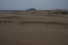
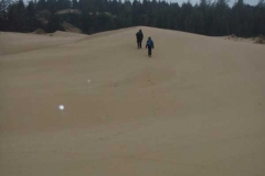
The hike started off on a well-defined path through a forest, but then opened up into a vast expanse of sand with no discernible path whatsoever. We hiked up a steep dune and then down the other side, and then up the next dune…we could see for miles…sandy dunes in every direction, almost devoid of vegetation except for the odd “tree island” and tufts of beach grass here and there. But then we spotted a distant spot of red cresting the dune behind us…could it be? Yes, it was Rachel, and she had another hiker from the Striders in tow, who she had found milling about in the car park. We waited while she caught up. Apparently she hadn’t locked her car, so it was just as well she had gone back.
Despite the lack of a proper trail, John seemed to know exactly where to go. At first there were a few moments where there was a little “bush-whacking”, and some rather precarious sandy hill climbing, where the tufts of beach grass came in handy when the sand gave way as we hauled ourselves up.
After a few miles we found ourselves hiking alongside Ten Mile Creek. It was very picturesque. It probably would have been a lovely place to sit and eat lunch, had it have been dry enough to do so. But the rain was unrelenting for the duration of the hike, so we just just ate our lunch as we went.
We made our way to the “trail” that leads to the beach, but as usual at this time of year it was utterly flooded. John tried to find a drier entry point to the trail, but alas, after many false starts, we never found one. He suggested just biting the bullet and wading through, but having made it that far without getting our feet wet the rest of us voted him down vehemently on that one.
As we started meandering our way back to the trail head, John regaled us with some dune history. Apparently, in the olden days the coast from north of Florence to just south of Coos Bay was an expanse of shifting sand. This was not ideal for the folk wanting to build highway 101, so someone had the bright idea of planting European Beach Grass to try and firm up and tame these wild shifting sands. The plan worked a bit too well, and the grass thrived here and unfortunately has affected many local plants and animals, and is now considered an invasive species.
We all agreed that the landscape seemed almost other worldly, and could totally appreciate it being the inspiration for Frank Herbert’s “Dune” novels. Luckily we all made it back to our vehicles without being eaten by giant sand worms. Rachel and Traci’s vehicles were still locked. According to Rachel’s Fitbit, we hiked a grand total of 10 miles (which experienced hikers know counts as 12 when it’s all on sand). Despite the incessant rain, it was a fabulous hike.
Pictures by Rachel Swieck
Rogue River Trail Marial to Paradise Lodge – November 18, 2017
Hike Coordinator – Edwin Case
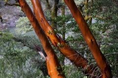
A mid-November day blessed a dozen hikers with unusually great weather and an outstanding hike on one of the most beautiful stretches along the Rogue River. Our leader for this hike, Edwin, met us in Riddle to begin the day’s expedition. The road to the trailhead was quite twisty, but it was worth the drive, for sure!
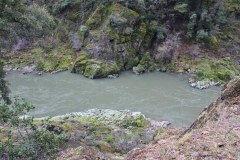
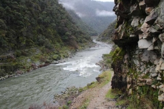
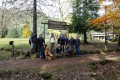
The twelve of us, plus Wish the dog, hit the trail with enthusiasm, and within a short distance after exiting the woods, we were greeted with the grandeur that …is the mighty Rogue! The river stays in view for the majority of this hike, and displays its rugged roaring waters in spectacular fashion. The rocky trail was easy to traverse, and every corner we rounded brought another exceptional perspective of the river.
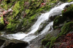
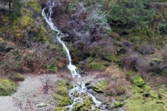
About a mile into the hike we reached Inspiration Point, an awe-inspiring place where Stair Creek Falls plummets from the opposite hillside into multi-level pools of cool water and eventually into the Rogue. Further along, steep rocky cliffs and various rushing streams kept the eyes busy taking in all magnificent sights.
We continued further down the trail until we reached Paradise Lodge, a popular stop for all those boat trips everyone takes up the Rogue River out of Gold Beach. It was not open for business this day, being less than a week from Thanksgiving. But that did not stop us from taking in the views from the lodge’s huge deck as we ate lunch at the picnic tables. Although it was a bit cool out, we basked in the warmth of the sun while exchanging friendly trail stories. Absolutely wonderful!
After Wish finished eating all the left-overs, we threw the packs back on and began the journey back up river. We saw the same sights, but in reverse this time, and with more sunshine! We tallied 6.6 miles upon reaching our vehicles, and some of us wish there were a few more miles to go, as we were reveling in the entire splendor that this trail has to offer.
Pictures by Lane Harris


