Cape Blanco – August 3, 2024

! IMPORTANT !
If viewing this in an email: You must click on the title above (in big letters) which will take you to the actual post of the hike, allowing you to view all the pictures and videos.
ENJOY!

Hike Coordinator: Lane Harris

Narration by Lane Harris

The annual game of chance called “Schedule a Hike but Avoid the Fires” was well under way by the time August rolled around. And so far, so good… until this hike, which was supposed to be Mt. June at the far north end of the Umpqua National Forest. The fire closures had made us change our hiking plans once again. I figured hiking on the coast certainly must be a safe bet, so off to Cape Blanco we went!

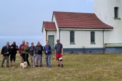
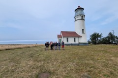
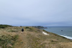
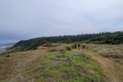
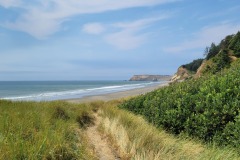
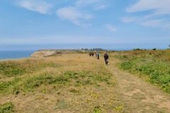
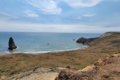
From our usual starting point at the Sixes River trailhead below the Hughes Historic House, our group of a dozen or so headed out on this overcast but pleasant morning, eager to get up the short hill and through the woods. Once we broke out of the thick trees, it was all about the ocean views. From here, it was a steady and level walk along steep cliffs, before the trail headed away and towards the main road that leads to the Cape Blanco campground and the lighthouse itself. We, of course, were going to the lighthouse. This was the road-walk portion of the hike, but the last quarter mile is vehicle-free, allowing hikers and other visitors access to the lighthouse without worrying about traffic.

We admired the lighthouse, and then walked back down the road, eventually connecting to the trail that continues along the south part of the cape. Soon, we were back in the woods where the campground is, and we decided a picnic table near the bathrooms was a good place for lunch, as it was out of the wind, which had begun to pick up as the hours clicked by. (I had brought my drone with intentions of getting some awesome footage, but on this day, the stiff winds had other plans, so thus, my drone stayed safely packed away in its wind-free case)

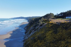
The skies were clearing by now, and after a nice break, we picked up the trail again on the south side of the campground, enjoying several overlooks with views of the beach down below. We soon began picking our way through the grassy dunes which eventually spit us out onto the beach.

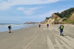
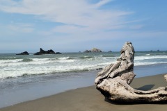
Upon hitting the beach, we turned north and headed back towards the cape. At Needle Rock, we made the steep scramble back up to the road. It was here where a few hikers decided to retrace their steps back the way we had come, while the majority of us opted to drop down to the beach on the north side of the cape and head up the beach.

Near the Sixes River, we struggled a bit to find the trail that would lead us back to the parking lot. (It had been a few years since I had done this hike, so my route-finding skills here near Cape Blanco were a bit rusty!) After a few minutes, it was discovered, and we completed the hike.

After the hike, Diane had the tasty idea of stopping at the Face Rock Creamery in Bandon for some ice-cream. I decided to just get lemonade, while everyone else got their ice-cream fix on. The 15-minute wait was worth the smiles it brought to all my passengers!

Pictures below by Lane Harris

Sacchi, Agate and Merchants Beach – March 16, 2024

Hike coordinator: Lane Harris

Narration by Lane Harris

I had planned this hike based on the low tide occurring around noon on this particular day. Good thing too, because even at low tide, the rocky point near Agate Beach was challenging to get around.

We had a few spectacular sunny spring days leading up to this hike, and that would continue into the weekend, so I was extremely pleased with that fact. However, what I did not count on was how still the air would be once we arrived at Seven Devils Wayside north of Bandon. With just a hint of a light breeze, most hikers shed any heavy outer layers they had anticipated might be needed on this hike. With the sun out in full force and the air temperature somewhere in the mid-60s, this was certainly going to be a fantastic day!

After gathering for a few group photos, we headed north along Merchants Beach. There were other beachgoers who were out enjoying the unusually warm day, most of them remaining stationary while our group trekked on past them towards Agate Beach. There’s really no distinguishing features between Merchants Beach and Agate Beach, except for the fact that there may be more agates and other small rocks found upon the shoreline at Agate Beach. To be honest, I wasn’t really paying attention to that, as I was mainly focused on reaching, and hopefully getting around the rocky feature ahead of us. This was the first time I’ve been here, so this was all new to me. And no, I did not feel the need to prehike this particular hike. I mean, its just flat sand, right?

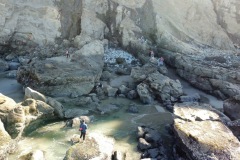
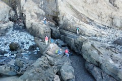
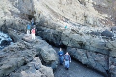
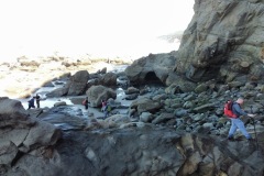
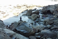
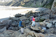
Well, the flat sand soon ended and we were met with large rocks and boulders scattered around the intertidal zone, creating a maze-like puzzle that each hiker had to solve on his or her own. I’m certain none of us took the exact same route around these rocks, which was fairly easy at first. It quickly turned to a game of either waiting for each surge of the ocean to subside, or to just wade through the shallow ankle-high pools. I dubbed the game “Wait or Wade.” Most of us just waited with a spattering of wading. A few were purists and were either always waiting or always wading.

Just when we thought we could merely skirt around the final obstacles, we were reluctantly forced to climb over extremely large, monolithic rock outcroppings. It was now a very strategic game of deciding which way to go, as our options were getting limited. By this time, we were all yelling at each another. No, not out of frustration, but with instructions to others, saying “go that way” or “no, don’t come this way!”

Eventually, most of us made it to Sacchi Beach and had a well-deserved lunch at the far north end. A few hikers didn’t make it through the gauntlet of boulders and were sadly swept out to sea by the outgoing tide. Just kidding, they were more likely swept up by the feeling of “To heck with this, we’re turning around!”

Fortunately, our trek back was a bit easier, as the tide was lower than during our northbound trip. No big boulders to get over, and very little waiting or wading. That being said, there were several small streams that we did have cross, and on any other hike we may have whined more about our boots getting wet. But playing the wait or wade game and completing rock hopping 101 made these little stream crossings seem like child’s play.

When we arrived back at Merchants Beach, I presented the option of adding in a few more miles by hiking to Fivemile Point and back. Not surprisingly, there were no takers on that offer, myself included. I guess after our exciting rock climbing adventure, a straight, flat beach with no challenges sounded quite boring.

https://youtube.com/watch?v=SdKA7yFxnKo%3Fsi%3DvinKq-Ap3pNPRNm3
Sacchi, Agate and Merchants Beach

Pictures 1 – 4 below by Lane Harris
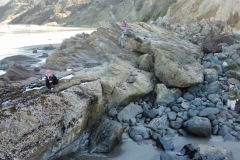
Remaining pictures by Jason Pham, most courtesy of his drone

Bandon Beach – April 29, 2023

Hike Coordinator: Rheo Wheeler

Narration by Rheo Wheeler

The day of the hike was overcast, but sun was forecast by afternoon. Unfortunately, that did not include the Bandon beach area. Nevertheless, we had 10 from the Roseburg area head off for the coast, and we met 2 from the Striders at Bandon.

We were lucky to have hard sand after leaving the jetty area, so the 4-mile southward trek was relatively easy. We had 3 creeks to get through though, so feet got wet. Not much wind to speak of either, so a rather pleasant wander down and back which covered about 8 miles.

The tide had receded on the way back so there were a few tide pools to explore, and seals with pups lounging on the rocks just offshore. There were rewards after the hike of strolling Bandon, and I’m sure it also involved ice cream.

Pictures below by Rheo Wheeler

Scroll Up