IMPORTANT:
If viewing this in an email: You must click on the title above which will take you to the actual post, allowing you to view all the pictures and videos.
ENJOY!
Be sure to check out all the links in this post,
there are a lot of them!
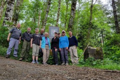
During our annual campout, ten intrepid adventurers toured the landscape of the most northwestern part Oregon.
JUNE 13, 2024
SADDLE MOUNTAIN

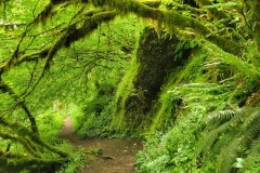
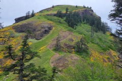
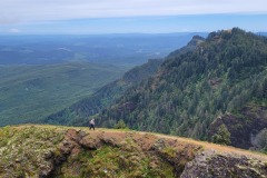
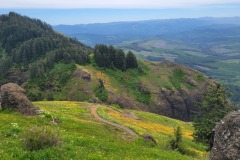
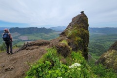
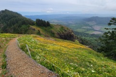
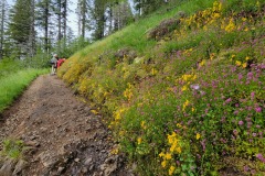
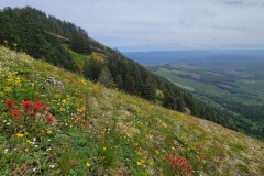
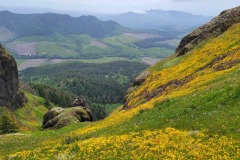
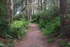
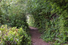
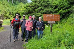
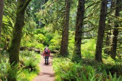
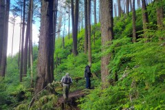
Located just east of Seaside, this popular trail leads hikers up the slopes of Saddle Mountain. This was day one of the hiking club’s annual camp out, and it did not disappoint. We camped at Fort Stevens State Park and made the relatively short drive to the trailhead which begins in a lush green carpeted forest. In the spring, the flowers here are just amazing. Around every corner there’s another sight to see. Further up the trail, the forest gives way to rocky hillsides, all dappled in bright colors. Eventually, hikers are presented with a final steep, rocky climb to the top of Saddle Mountain. The views are tremendous!
More pictures of Saddle Mountain on Lane Harris’ Flickr Album
Pictures below by Lane Harris
BATTERY RUSSELL TRAIL
Richard O’Neill

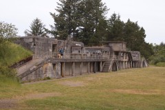
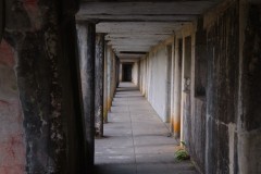
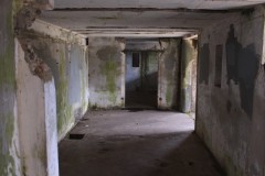
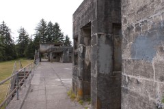
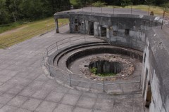
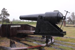
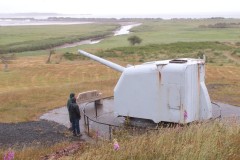
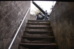
While the rest of the group hiked Saddle Mountain, Richard explored the ruins of Battery Russell, a WWII gun emplacement designed to protect the Columbia River from attacks by Japan.
More pictures of the Battery Russell Trail on Richard O’Neill’s Flickr Album
Pictures below by Richard O’Neill
THE WRECK OF THE PETER IREDALE

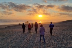
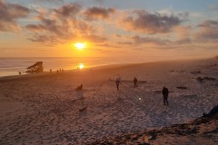
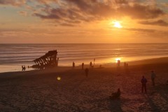
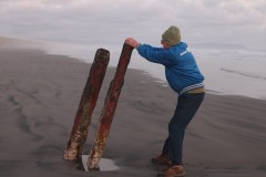
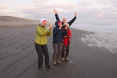
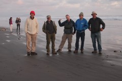
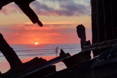
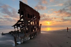
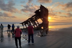
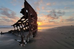
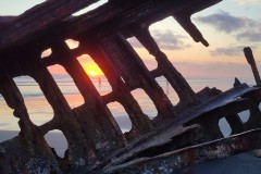
After we all had a good rest from a full day of hiking, we visited the shipwrecked Peter Iredale near Fort Stevens. Although not a hike, this was an enjoyable visit to an interesting piece of Oregon history.
In the early morning of October 25, 1906, the Peter Iredale, a four-masted steel bark built in Maryport, England, ran aground on Clatsop Beach, just south of the mouth of the Columbia River.
After the ship was stripped of valuable scrap metal, the remains of the ship were left imbedded in the sands, attracting curious visitors ever since.
More pictures of The Peter Iredale on Lane Harris’ Flickr Album and Richard O’Neill’s Flickr Album
Pictures below by Lane Harris and Richard O’Neill
JUNE 14, 2024
FORT CLATSOP
and
THE NETUL RIVER TRAIL

Narration by Richard O’Neill
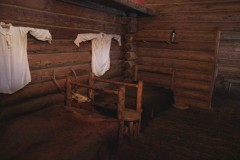
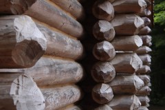
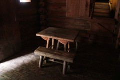
Fort Clatsop, located in Lewis and Clark National Historical Park, is the site of the Lewis and Clark’s fort where they stayed and explored the area around the mouth of the Columbia River.
The actual fort has long since disappeared into the moist forest surrounding the river system where the Young’s, Lewis and Clark, and Columbia all meet before running out into the Pacific Ocean. The site of the current fort is estimated but is reasonably accurate based on the copious writing of the two explorers. Likewise, the current fort was replicated from the sketches and schematics drawn up by the intrepid duo. At any rate, nowadays the replicated fort offers a look into the past.
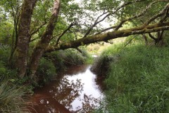
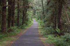
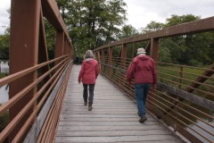
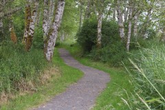
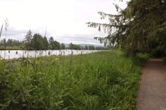
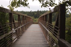
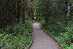
But we all hike, and the Fort’s paths just won’t do, so we hiked on the Netul River Trail to Netul Landing. The Netul River is a historical name because it has been changed to Lewis and Clark River. At any rate, we enjoyed a pleasant walk under ever increasing dark clouds that saved the rain for later that evening.
More pictures of Fort Clatsop and the Netul River Trail on Richard O’Neill’s Flickr Album
Pictures below by Richard O’Neill
FORT STEVENS BATTERY 245

Narration by Richard O’Neill
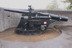
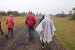
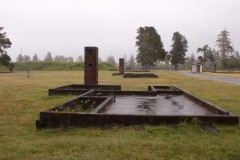
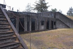
After our hike at Fort Clatsop, we made an afternoon sojourn to the gun batteries and ruins of Fort Stevens. Established in the Civil War era, in WWII the fort guarded the nearby Columbia River and with good reason, for a Japanese submarine surfaced and shelled the fort. Nowadays, visitors can take a short hike on the Jetty Trail (we did) and explore the ruins of the fort. While we started walking, the heavens opened up and we all got pretty wet and cold.
More pictures of Fort Stevens Battery 245 on Richard O’Neill’s Flickr Album
Pictures below by Richard O’Neill
June 15, 2024
TILLAMOOK HEAD

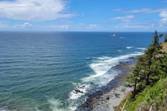
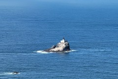
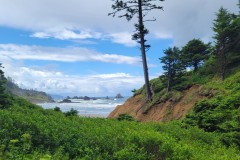
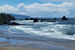
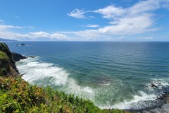
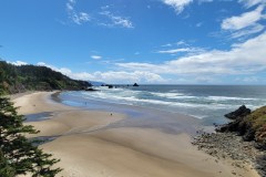
Tillamook Head Trail, located in Ecola State Park between Seaside and Cannon Beach, is actually part of the Pacific Coast Trail. This is a densely forested area, and part of the trail can be muddy after the rains. We discovered World War II cement structures scattered around the top by exploring a bit off-trail to find them. We also had views of the Tillamook Lighthouse, also known as Terrible Tilly, which was first lit in 1881.
Beginning at Indian Beach, Terry, Penny, Lane, Cleve and Edwin made the relatively easy climb to Tillamook Head. Continuing further up the trail and about halfway to Seaside, Terry and Penny decided to continue on to Seaside, where Lane would pick them up later. Lane, Cleve and Edwin turned around and returned to Indian Beach to finish out this hike.
More pictures of Tillamook Head on Lane Harris’ Flickr Album
Pictures below by Lane Harris
ARCADIA BEACH
&
CANNON BEACH SANDCASTLE CONTEST
Richard O’Neill

While the rest of the group hiked to Tillamook Head, Richard, Diane and Meg did some beach exploring…
ARCADIA BEACH
Narration by Richard O’Neill
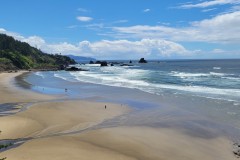
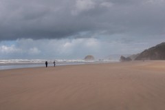
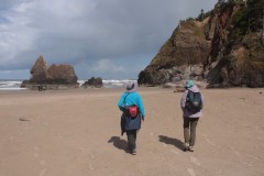
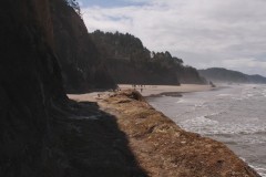
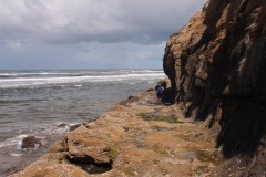
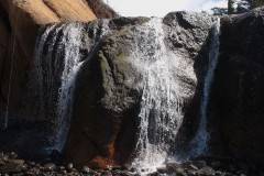
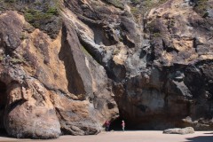
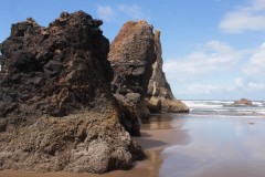
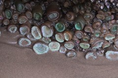
We did a morning hike on Arcadia Beach, south of the tourist town of Cannon Beach. We hiked around Hug Point, so named because back in the day, a rough track was dynamited around the point to allow horse and cart to get around. The point is only passable at low tide. Our reward for getting around Hug Point was a visit to a waterfall tumbling onto the beach. Weather was nice until the end of the hike, at which point it became decidedly belligerent and nasty.
More pictures of Arcadia Beach on Richard O’Neill’s Flickr Album
Pictures below by Richard O’Neill
CANNON BEACH SANDCASTLE CONTEST
Narration by Richard O’Neill
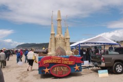
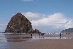
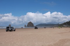
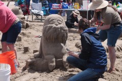
I could have done it! The Cannon Beach Sandcastle Contest was happening and basically access was by car, requiring a drive of several miles on the beach. I had visions of my car getting stuck in the sand and then getting taken out by waves, so we parked in town and hiked to the contest area.
In hindsight, it would have been no problem at all, the sand was hardpacked and solid. On the plus side, we got to enjoy a beach walk of about two miles or so, (four round-trip, but who’s counting?) to add onto the morning hike on Arcadia Beach.
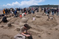
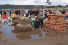
It had rained earlier that day and the sandcastles suffered as a result. Frenetic activity took place as the castle crews frantically tried to repair the damage before the judges arrived. We didn’t stay for the final product (we had that beach back to the car, remember?) but enjoyed watching the crews and artisans ply their avocation.
More pictures of The Cannon Beach Sandcastle Contest on Richard O’Neill’s Flickr Album
Pictures below by Richard O’Neill


