Rogue Gorge Loop – October 2, 2021

Hike Coordinator: Richard O’Neill

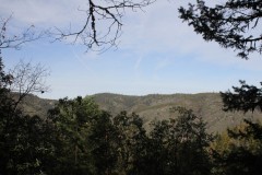
This hike was supposed to go to Cliff and Buckeye Lakes, located in the Rogue-Umpqua Divide Wilderness. But due to wildfire closing the road to Skimmerhorn Trailhead we opted to visit the Upper Rogue which had the fall colors thing going on and as an additional bonus, there were no wildfires in the area.

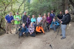
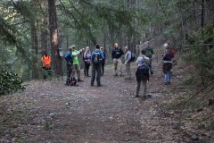
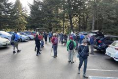
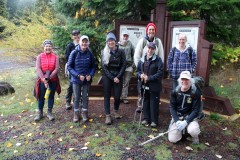
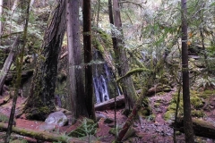
10 hikers set out on the trail and the first item of interest was Rogue Gorge, where the Rogue funnels into a narrow slot canyon that used to be a lava tube before the roof collapsed during some bygone millennia. Also at the Gorge viewpoint area is the Living Stump which is a stump whose roots melded with the roots of nearby trees and so manages to live despite showing no outward signs of life. It kind of reminded me of when I take Lane hiking with me! I vote his trail name should become Living Stump!

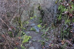
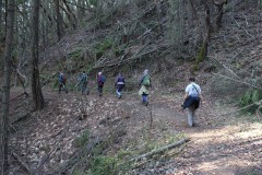
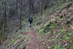
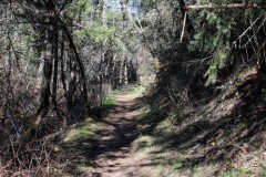
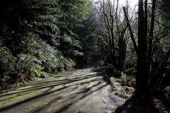
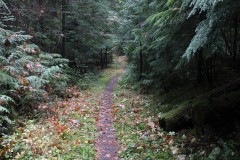
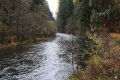
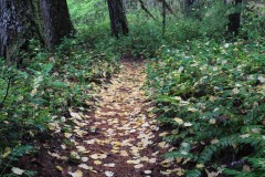
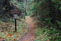
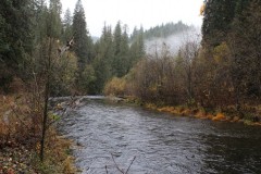
Once we began hiking downstream along the Rogue River, the fall colors became the reason for doing this hike. Every tint and hue that can be found on the warm end of the color spectrum was readily seen in the ample vegetation growing along the river, often all on one single leaf! Across the river and in the bright sunlight, the colors were so bright we had to wear sunglasses so as to prevent further retinal damage.

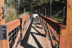
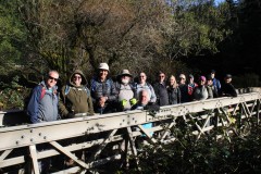
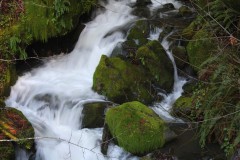
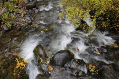
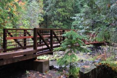
About halfway to Natural Bridge we switched river sides by walking over a bridge at  particularly scenic stretch of wild river seething in yet another collapsed lava tube. This allowed us to walk in the more brightly colored and more sunlit side even though it meant we had to hike on the only uphill section of trail.

At Natural Bridge, the Rogue disappears from sight while it travels a short distance underground in an uncollapsed lava tube, and reemerges about 100 feet downstream. The sight of the river bounding between boulders was awesome and we all stopped to gawk at the splendor of it all.

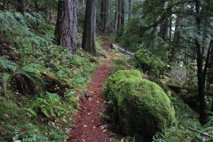
After lunch at Natural Bridge, it was a perfunctory 3.5 mile walk along the river. Because the afternoon sun was high in the sky, each side of the river was the sunny side now. Accordingly, we hiked in veritable rainbow of autumn-colored foliage on the way back.

The Upper Rogue, in my opinion, is the best fall hike in southern Oregon and we certainly all enjoyed this hike, it was a great show.

More pictures on Richard O’Neill’s Flickr page and Lane Harris’ Flickr page

Read about this hike on Richard O’Neill’s Blog

YouTube video

Pictures below by Richard O’Neill
Cooper Creek Reservoir – September 4, 2021

Hike Coordinator: Nancy Johnson

Narration by Nancy Johnson

Cooper Creek reservoir is always a great close hike and a great way to stay active. We had 8 brave souls, with 4 of them new faces on this very smoky day. Early morning wasn’t too bad regarding air quality, but it did catch up to us at the end.

John was adventurous leading 5 on the new trail after the upper boat ramp. This side of the trail still has not been completed , so they “bushwacked” up the hill to get on the road.  I kept to the road with 2 in tow.

It was a great day,  thank you to all that showed up. 

Pictures below by Nancy Johnson

Siltcoos Lake Trail – August 21, 2021

Hike Coordinator: Rheo Wheeler

Narration by Rheo Wheeler

We had five that traveled from Roseburg, meeting two who traveled north from camping at Eel Lake that took part in the Siltcoos Lake loop trail. The weather was perfect after rain showers passed through, although the trail was dry.

This trail is very shady with all the undulations of a typical Richard hike, uphill both ways. Wait this wasn’t a Richard hike though. Most of the boggy areas had dried out although there was still one creek running to the lake.

We had lunch with views of the lake before completing the loop. On the north end of the loop there were many stumps left from the 30’s where you could see the axe cuts from where they put the springboards in to use crosscut saws to take the trees down. These hallmarks from the old logging days are finally fading after 90 years.

A short 4.5 mile trail: Perfect for the old lady who picked it.

More pictures on Lane Harris’ Flickr page and Richard O’Neill’s Flickr page

Read about this hike on Richard O’Neill’s Blog

Pictures below by Rheo Wheeler, Richard O’Neill and Lane Harris
Alder Dune to Baker Beach – January 23, 2021

Hike Coordinator: Lane Harris

Narration by Lane Harris

The week leading up to this hike had been packed full of cold, rainy days, and the forecast had called for even worse weather on the other side of Saturday. As each day passed, I held my breath waiting to see if the very slim window of nice weather that was being reserved for Saturday’s hike by the weatherman was going to hold. By Friday night, I was pleased to see that the hike at Baker Beach was destined to be, at the very least, dry, and quite possibly, very sunny. Thank you, weatherman!

Ten of us hikers arrived at the trailhead at Dune Lake, which is near Alder Lake, both of which are near Alder Dune Campground… ok, is anyone else confused?… Anyway, before we set out, Bob noticed that Michael had a semi-flat tire on his vehicle. At which point, Michael asked, “What would Bob do?” After a few amusing remarks from the crowd, Michael decided that he would chance it and deal with the tire issue upon his return. (I really don’t remember what Bob’s advice was, as I was sidetracked by the whole WWBD: What Would Bob Do thing…)

We then hit the trail, everyone staying together in a group, as the trail has quite a few places where one could meander off onto false ghost-trails. We had barely gone half a mile when I was told that Michael had decided to turn around and go back. This is the part where he would prematurely “deal with the tire issue upon his return”. Apparently, he was calculating that his tire wouldn’t hold enough air for the duration of the hike.

As we trudged through more sand, I received a text message from Diana. She said she had camped at Alder Dune Campground, and was waiting to start the hike… at Baker Beach. I just shook my head and replied back that we had actually started where she camped at Alder Dune, and that we were heading her way to Baker Beach, just as it was listed on the hike description. After a few more texts back and forth, I ended up just calling her to say that yes, she started in the wrong place, and that no, do not go back to the beginning where we had started, as she would never catch up. After she spouted a few choice blasphemous words indicating her apparent self-disgust in herself for not paying full attention to the fine details of the hike itinerary, I told her that we were just a mile out and we would meet her at the Baker Beach Campground, to just wait there. Funny thing, we never heard from her again…

Just kidding. About a half mile later, Diane was spotted sulking down the trail towards us. She had decided to not wait for us, but rather opted to get some steps in. Her mood immediately improved though as we greeted her and she joined our merry little congo line heading back in the direction from which she had come from. Read the fine details, kids, it may save you some awkwardness later on.

We soon reached Baker Beach Campground and continued across the road on the trail known as the Lily Lake Loop, which loops down and around to Lily Lake at the most northern part of our hike. At Berry Creek, the trail basically does an about-face and heads south again across a high grass-covered dune, offering a nice photo-op of the land between us and the ocean.

As the trail continued back toward Baker Beach Campground, we had to skirt around several areas of the trail which were flooded with recent rain water. There’s wasn’t much to see along this part of the trail, but that’s sometimes typical during hikes. We soon arrived back to the campground and hooked a hard right toward the ocean.

The path that leads from the campground to the beach can be busy at times, both with humans and their equine companions. We would encounter both today, but it seemed much busier the day that I had pre-hiked this hike back on a blue-sky December day. The trail leads up and over a large dune, which wins the award for the greatest leg-burning hill of the day! Once at the top, we were rewarded with a fantastic view of our lunch destination, the beach! That glee soon dissipates heading down the other side, as you realize you will have to climb back up this side on the return leg! Ouch, don’t say leg!

Everyone pulled up a log and proceeded to chow down on a well-deserved lunch, as we watched distant ships float against a dark gray sky far to the west. This was the weather system that would move in later, long after we were done with our hike. But for now, we enjoyed the waves crashing against the sandy shores, along with horseback riders trotting up the beach. We watched with envy as the horses easily sauntered up the soft, sandy hillside that we had just come down. Unfortunately, us humans would have to traverse that quad-killing hill sometime after we finished our meat sticks and sandwiches.

While the rest of the group decided to beeline it back to the campground and chill, myself, Richard, John, Penny and Patty elected to be a bit adventurous and search for an impromptu alternative route to avoid the leg-busting sandy hill. Ok, so it was my idea, as I always have the best ones, and they always go as planned.

After hitting a dead-end near Berry Creek, I had a change of plans. We turned around and found a somewhat obtainable route to a dune that lay above us. I went first, having to crawl a bit on my hands and knees, tentatively negotiating the unstable sand-filled hillside, but was successful at the attempt. Looking back down on the doubtful-looking group, I could sense their excitement of the challenge the lay ahead of them. Richard grudgingly made his way up, then Penny, and then Patti. John hesitantly brought up the rear, and we were on our way. I then unashamedly announced to my exploratory hiking pals that they could now thank me for bringing back their own childhood memories of cheerfully playing in a sandbox. I valued what I assumed was their silent approval, as they solemnly brushed off sand from every part of their clothing, quietly mumbling to themselves. In this moment, I realized how much I was truly adored and appreciated whenever I lead hikes.

The five of us made it back to the campground and joined up with the others to make the 2-mile trek back to Alder Dune. By this time, the warmest part of the day, we were grateful for the pleasant weather and the warm sun on our faces. The air was cool, but not cold. The sand was… well, the sand was still sand, and it felt even harder to walk in on the return trip. What ended up being over 6 miles felt like at least 10 miles.

Oh, and in case you were wondering, Michael did make it to Florence and was able to get his tire fixed. He even stated he went to go check out Sweet Creek Falls near Mapleton while we were still hiking. That’s fine and all, but I feel it was a missed opportunity on my part to bring back precious sandbox memories to another appreciative hiker. Maybe next time.

Read about this hike on Richard O’Neill’s Blog


More pictures on Lane Harris’ Flickr page and Richard O’Neill’s Flickr page

Pictures below by Lane Harris and Richard O’Neill

Scroll Up