South Slough Reserve – November 27, 2021

Hike coordinator: Rheo Wheeler

Narration by Rheo Wheeler

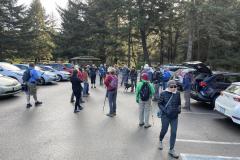
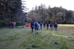
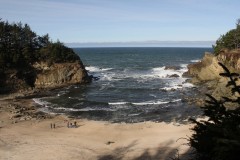
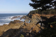
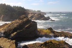
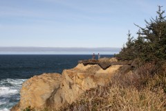
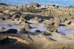
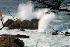
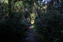
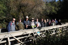
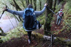
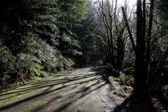
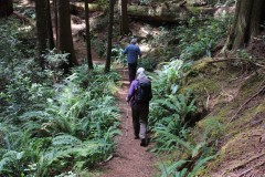
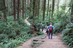
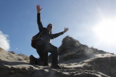
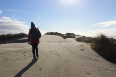
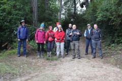
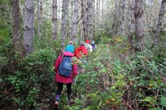
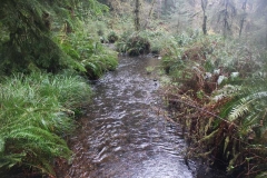
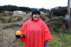
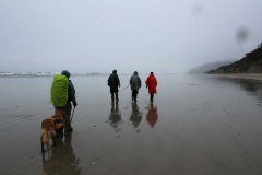
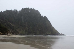
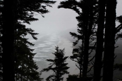
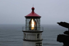
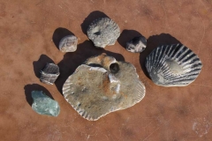
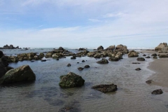
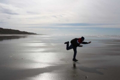
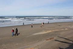
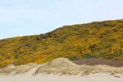
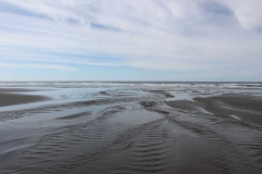
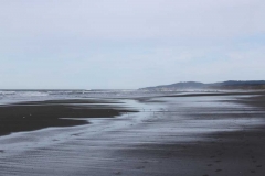
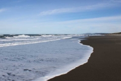
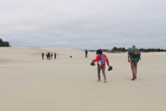
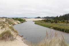
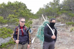
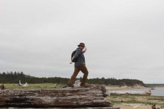
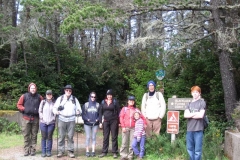
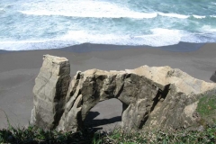
What does one do on Thanksgiving weekend? On Saturday, there were only 5 of us who decided hiking was the answer. Liz, Cleve and I met at the courthouse and met Shannon and Jan at South Slough.

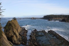
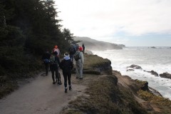
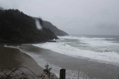
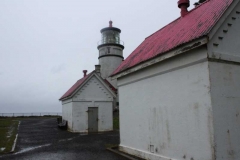
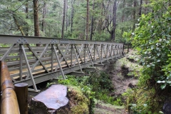
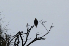
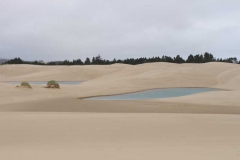
There was no sunshine, but just a drizzle here and there with gray cloud cover, not very picturesque. We enjoyed the downhill side and the various viewpoints along the water, and then made the trek uphill to the cars. The tide was out so there was no wildlife to speak of. We just took our time and enjoyed each other’s company. All told, we only hiked about 3-4 miles.

Pictures below by Rheo Wheeler

Siltcoos Lake Trail – August 21, 2021

Hike Coordinator: Rheo Wheeler

Narration by Rheo Wheeler

We had five that traveled from Roseburg, meeting two who traveled north from camping at Eel Lake that took part in the Siltcoos Lake loop trail. The weather was perfect after rain showers passed through, although the trail was dry.

This trail is very shady with all the undulations of a typical Richard hike, uphill both ways. Wait this wasn’t a Richard hike though. Most of the boggy areas had dried out although there was still one creek running to the lake.

We had lunch with views of the lake before completing the loop. On the north end of the loop there were many stumps left from the 30’s where you could see the axe cuts from where they put the springboards in to use crosscut saws to take the trees down. These hallmarks from the old logging days are finally fading after 90 years.

A short 4.5 mile trail: Perfect for the old lady who picked it.

More pictures on Lane Harris’ Flickr page and Richard O’Neill’s Flickr page

Read about this hike on Richard O’Neill’s Blog

Pictures below by Rheo Wheeler, Richard O’Neill and Lane Harris

Alder Dune to Baker Beach – January 23, 2021

Hike Coordinator: Lane Harris

Narration by Lane Harris

The week leading up to this hike had been packed full of cold, rainy days, and the forecast had called for even worse weather on the other side of Saturday. As each day passed, I held my breath waiting to see if the very slim window of nice weather that was being reserved for Saturday’s hike by the weatherman was going to hold. By Friday night, I was pleased to see that the hike at Baker Beach was destined to be, at the very least, dry, and quite possibly, very sunny. Thank you, weatherman!

Ten of us hikers arrived at the trailhead at Dune Lake, which is near Alder Lake, both of which are near Alder Dune Campground… ok, is anyone else confused?… Anyway, before we set out, Bob noticed that Michael had a semi-flat tire on his vehicle. At which point, Michael asked, “What would Bob do?” After a few amusing remarks from the crowd, Michael decided that he would chance it and deal with the tire issue upon his return. (I really don’t remember what Bob’s advice was, as I was sidetracked by the whole WWBD: What Would Bob Do thing…)

We then hit the trail, everyone staying together in a group, as the trail has quite a few places where one could meander off onto false ghost-trails. We had barely gone half a mile when I was told that Michael had decided to turn around and go back. This is the part where he would prematurely “deal with the tire issue upon his return”. Apparently, he was calculating that his tire wouldn’t hold enough air for the duration of the hike.

As we trudged through more sand, I received a text message from Diana. She said she had camped at Alder Dune Campground, and was waiting to start the hike… at Baker Beach. I just shook my head and replied back that we had actually started where she camped at Alder Dune, and that we were heading her way to Baker Beach, just as it was listed on the hike description. After a few more texts back and forth, I ended up just calling her to say that yes, she started in the wrong place, and that no, do not go back to the beginning where we had started, as she would never catch up. After she spouted a few choice blasphemous words indicating her apparent self-disgust in herself for not paying full attention to the fine details of the hike itinerary, I told her that we were just a mile out and we would meet her at the Baker Beach Campground, to just wait there. Funny thing, we never heard from her again…

Just kidding. About a half mile later, Diane was spotted sulking down the trail towards us. She had decided to not wait for us, but rather opted to get some steps in. Her mood immediately improved though as we greeted her and she joined our merry little congo line heading back in the direction from which she had come from. Read the fine details, kids, it may save you some awkwardness later on.

We soon reached Baker Beach Campground and continued across the road on the trail known as the Lily Lake Loop, which loops down and around to Lily Lake at the most northern part of our hike. At Berry Creek, the trail basically does an about-face and heads south again across a high grass-covered dune, offering a nice photo-op of the land between us and the ocean.

As the trail continued back toward Baker Beach Campground, we had to skirt around several areas of the trail which were flooded with recent rain water. There’s wasn’t much to see along this part of the trail, but that’s sometimes typical during hikes. We soon arrived back to the campground and hooked a hard right toward the ocean.

The path that leads from the campground to the beach can be busy at times, both with humans and their equine companions. We would encounter both today, but it seemed much busier the day that I had pre-hiked this hike back on a blue-sky December day. The trail leads up and over a large dune, which wins the award for the greatest leg-burning hill of the day! Once at the top, we were rewarded with a fantastic view of our lunch destination, the beach! That glee soon dissipates heading down the other side, as you realize you will have to climb back up this side on the return leg! Ouch, don’t say leg!

Everyone pulled up a log and proceeded to chow down on a well-deserved lunch, as we watched distant ships float against a dark gray sky far to the west. This was the weather system that would move in later, long after we were done with our hike. But for now, we enjoyed the waves crashing against the sandy shores, along with horseback riders trotting up the beach. We watched with envy as the horses easily sauntered up the soft, sandy hillside that we had just come down. Unfortunately, us humans would have to traverse that quad-killing hill sometime after we finished our meat sticks and sandwiches.

While the rest of the group decided to beeline it back to the campground and chill, myself, Richard, John, Penny and Patty elected to be a bit adventurous and search for an impromptu alternative route to avoid the leg-busting sandy hill. Ok, so it was my idea, as I always have the best ones, and they always go as planned.

After hitting a dead-end near Berry Creek, I had a change of plans. We turned around and found a somewhat obtainable route to a dune that lay above us. I went first, having to crawl a bit on my hands and knees, tentatively negotiating the unstable sand-filled hillside, but was successful at the attempt. Looking back down on the doubtful-looking group, I could sense their excitement of the challenge the lay ahead of them. Richard grudgingly made his way up, then Penny, and then Patti. John hesitantly brought up the rear, and we were on our way. I then unashamedly announced to my exploratory hiking pals that they could now thank me for bringing back their own childhood memories of cheerfully playing in a sandbox. I valued what I assumed was their silent approval, as they solemnly brushed off sand from every part of their clothing, quietly mumbling to themselves. In this moment, I realized how much I was truly adored and appreciated whenever I lead hikes.

The five of us made it back to the campground and joined up with the others to make the 2-mile trek back to Alder Dune. By this time, the warmest part of the day, we were grateful for the pleasant weather and the warm sun on our faces. The air was cool, but not cold. The sand was… well, the sand was still sand, and it felt even harder to walk in on the return trip. What ended up being over 6 miles felt like at least 10 miles.

Oh, and in case you were wondering, Michael did make it to Florence and was able to get his tire fixed. He even stated he went to go check out Sweet Creek Falls near Mapleton while we were still hiking. That’s fine and all, but I feel it was a missed opportunity on my part to bring back precious sandbox memories to another appreciative hiker. Maybe next time.

Read about this hike on Richard O’Neill’s Blog


More pictures on Lane Harris’ Flickr page and Richard O’Neill’s Flickr page

Pictures below by Lane Harris and Richard O’Neill


Heceta Head – March 24, 2018

Hike Coordinator – Richard O’Neill

Only 5 of us showed up for this hike while all you fair weather namby-pambies stayed home warm and dry. But hey, at least there weren’t any gale force winds like last time! This hike was wet as a steady rain fell on our hat brims the entire day. But there is something about the hiss of a forest when it rains and the hike had that vibe. After picking our way up and over Heceta Head on a trail that was slippery and muddy, we grabbed the Hobbit Trail to the beach. Probably because of the rain (ya think?), we had the entire beach to ourselves except for one lone bald eagle on a dead tree. The return from Carl Washburn State Park was through woods dark, wet, and lovely. Because we were having so much fun, we grabbed the China Creek Trail for extra mileage and time spent in the rain. After the hike was over, we all decided we had a lot of fun and to man (and woman), we decided to feel sorry for all those stay-at-homers who missed out on this epic.

Pictures by Richard O’Neill
Bullards Beach to Seven Devils – February 10, 2018

Hike Coordinator – Richard O’Neill

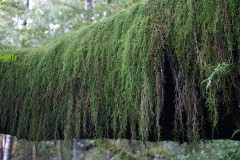
The day after this hike, cold, rain, snow, slush, wind, and sleet came to stay for an extended visit that really curtailed hiking festivities for the time being. But on this Saturday at Bullards Beach, who really cared about all that? The weather was fantastically sunny, albeit a bit on the chilly side.

This was an 8’ish mile beach walk from the Coquille River Lighthouse at Bullards Beach to Seven Devils picnic area. Joined by our Coos Bay hiking friends we were nearly 20 hikers strong and it didn’t take long for the group to sort itself out into power-hikers and beachcombers.

There was plenty of rocks and shells to provide for some quality beachcombing and soon our packs were weighted down with collections of fossilized clams, polished glass, and petrified wood.

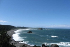
Besides the general beach ambience of the hike, we marked the miles with 4 landmarks: Cut Creek, Whiskey Run Creek, Fivemile Point, and Twomile Creek. Fivemile Point was the coolest, what with a very low tide exposing all manner of rocky tidepools.

All in all, quite an enjoyable hike on the beach on the last sunny day for a long, long, time.

Pictures by Richard O’Neill
 

Dellenback Dunes – May 20, 2017

Hike Coordinator – John Malone

Eleven people tuned out for this hike with a total of four solo drivers, a two party car and Richard’s carload.

From time to time there was mist but by and large, it didn’t really rain. There was just enough moisture to keep the wet sand from blowing on the brisk wind.

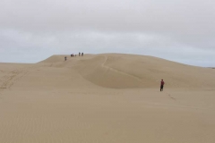
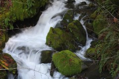
The group decided to forgo the deflation area that leads down to the beach with its boot soaking puddles, so they climbed the big dune for the views then headed over to Tenmile Creek and made their way to the beach pausing to eat their lunches in a sheltered area before reaching the ocean. John set a precedent for getting to the beach with dry boots.

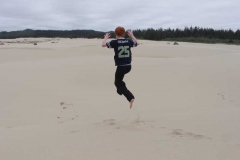
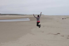
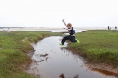
There were two really energetic kids on the hike, Emma, Gaoying’s daughter and Daweson, one of Richard’s grandsons. They were a delight to watch, Daweson with his leaps and summersaults and Emma with her vitality and stamina. They brought more joy to the marvelous vistas always present on the dunes. Oh yes, we mustn’t forget Rachel’s enormous leap which Richard captured with his ever- present camera eye. Rheo got a good picture of Daweson’s flip off a dune.

There were marvelous views of the lagoons with their sparkly blue waters even when there were no blue skies. The breezes kept the day from being too warm for hiking – in fact it was a perfect hiking day. Thanks go to John for coordinating.

Pictures by Richard O’Neill
Blacklock Point – May 6, 2017

Hike Coordinator – Rheo Wheeler

We did not have a large crowd for this hike, boy did you all miss a great hike. The clouds blew away, wow did it blow, but the temperature was perfect for hiking and pictures.

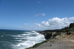
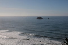
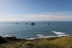
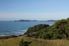
Seven of us met in Roseburg and traveled over to the air field in Port Orford and met four others, total of 11. We hiked down to Blacklock Point for lunch on the windswept cliffs overlooking the ocean. Actually we had lunch hiding from the windblown sand in the bushes and trees just back from the view.

We then traveled on towards Flores Lake to find another photo op, looking over the cliff for a backside view of the arch on the beach. This was about 3.5 miles in so half of us headed back to the cars for a little over 7 miles. The other half continued on towards Flores Lake, thank you Richard, for a 10 to 11 mile hike.

Pictures by Rheo Wheeler

Tahkenitch Dunes – March 25, 2017

Hike Coordinator – Richard O’Neill
I seem to be a lucky hike leader lately. It was raining in Roseburg and on the drive to the coast but once at the coast, the clouds dissipated and voila! It was a sunny day on the beach.

The original plan was to hike to Tahkenitch Creek and wade across to the Oregon Dunes area. But alas, Tahkenitch was rain-swollen and moving too deep and fast to wade across safely. So the plan was amended to an 8’ish mile loop through the dunes and past Threemile Lake. 10 hikers made the right turn and 3 hikers inadvertently made the left turn at the first fork. Any anxiety a hiking leader with missing hikers may have felt was assuaged when we ran into the three hikers doing our hike in reverse order, so all was well.

This has been an uncommonly wet winter and much to our surprise and chagrin, a full-fledged creek has formed about 0.5 miles from the beach. Because the soil is all sand, the creek has carved a veritable Grand Canyon of the Tahkenitch right across the trail. So, we got to practice our bushwhacking skills as we left the trail and scrambled down to Tahkenitch Creek.

We then got to practice our sprinting skills due to a very large sneaker wave. Rachel was ahead of us so I frantically pointed at the wave coming to smite her from the rear. Unclear on the concept, Rachel smiled sweetly and waved. She got wet.

We enjoyed a lazy lunch on the beach and the sun felt wonderful upon our pale Oregon skin. Everybody was game for more miles so we took the dune trail to Threemile Lake and then it was up and over the mountain and through the lush coastal woods before we returned to our cars at Tahkenitch Campground.

Almost as soon as we started home, the rain resumed. Like I said, I seem to be a lucky hike leader, lately.

Pictures by Richard O’Neill
Bastendorff Bog Trail – January 14, 2017

Hike Coordinator – Richard O’Neill
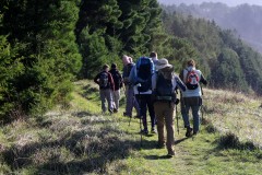
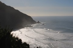
I don’t want to get cocky by saying I dialed up a beautiful day because as soon as the weather gods find out I said that (and they will!), then I will never lead a hike in anything but rain, sleet, or snow. Southern Oregon had been pummeled by a series of icy and snowy storms and while the temperature was cold and the roads slippery with ice, it was a gloriously sunny day as we started hiking on Bastendorff Beach.

I sort of kept waiting for the Richard Hike factor to show itself but apart from having to splash across Miners Creek, there was an uncharacteristic lack of travails on this hike. At the end of Bastendorff Beach, we took a narrow path that climbed up to the forested bluffs overlooking the rugged and scenic Oregon coast.

Most of the hikers had never hiked this route so it was all new trail smell as we hiked to the end of Yoakam Point which sports a stunning overlook of Bastendorff Beach and Cape Arago Lighthouse. There are no official trails on this part of the coast so we followed a series of braided trails along the coast, enjoying the view to Gregory Point and Lighthouse Beach.

From Yoakam Point, a short walk along Cape Arago Highway took us to the well hidden Bastendorff Bog Trail. You’d never know the trail was there unless you know the trail was there, but the Bastendorff Bog Trail is used mostly by Oregon Coast Trail hikers looking to use the hiker camp at Sunset Bay. Despite its name, the trail is not boggy and and climbs up and over a small hill with thick coastal forest providing the scenery. 

At Sunset Bay, the club ate lunch and then split into two groups: those happy with a 7 mile hike returned back to Bastendorff Beach and those wanting a 10’ish mile hike continued on the coastal trail for a couple of miles. By the time we hit Yoakam Point, the shadows were getting long with the advent of late afternoon. Lane, Edwin, and I were the only takers on the scramble down the cliff to Bastendorff Beach and while some use of hands was required, there was nary a fall on the way down. A mile walk down the beach in the golden glow of the sinking sun capped off a superlative hike. We all stopped for Mexican food in Coquille, and that capped off a fine day for a hike.

Pictures by Richard O’Neill
Scroll Up