Lost Creek Lake & Blue Grotto – December 7, 2024

Hike Coordinator: Tery Andreucci

Narration by Terry Andreucci

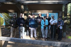
Five hikers met in Roseburg for a 2-hour drive to Lost Creek Lake and the Blue Grotto Trailhead. Additionally, five other hikers from the Grants Pass area met us at the trailhead.

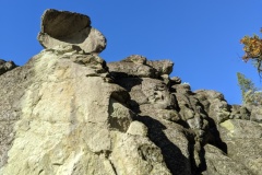
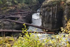
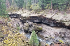
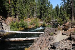
The hike took us along the north shore of the lake to an interesting box canyon formed of blue-green rhyolite deposits from the eruption of Mount Mazama, now Crater Lake.

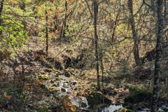
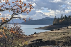
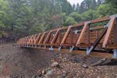
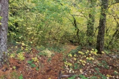
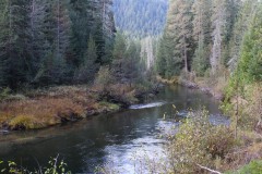
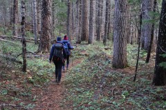
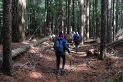
We hiked the five miles out and back through a mixed forest of incense cedars, ponderosa pines, Douglas fir, white oak and madrone. Along the way there were wonderful views of Lost Creek Lake, the Peyton Bridge and the areas of blue rhyolite shoreline.

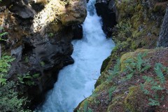
We took the trail up to the Grotto, as steep rhyolite slopes closed in on us. Sad to say, the falls were a little disappointing. Without recent rainfall there was very little water flowing over the falls. Oh well!

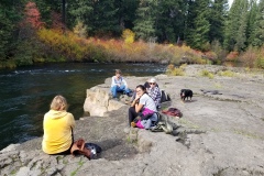
After lunch at the shoreline, we headed back, just as a light drizzle of rain began.

All in all, a good day on the trail!

Pictures by Terry Andreucci and Rheo Wheeler

Takelma Gorge – October 14, 2023

Hike Coordinators: Penny Groth and Missy Kroeker

Narration by Penny Groth

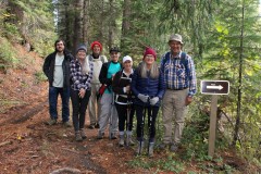
Eleven of us fall-loving hikers met at the courthouse on a chilly morning. It was a beautiful colorful drive to the trailhead. Two other hikers from Grants Pass met us at the trailhead, eager to join us.

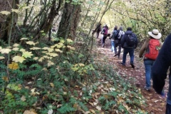
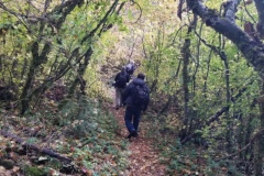
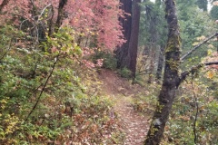
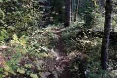
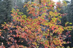
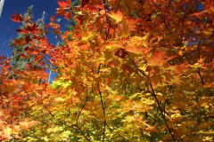
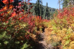
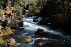
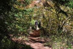
And off we went! We quickly realized we were in for a fall treat! The trail meandered through fallen leaves with tunnels of overhead branches and a sea of color! Much of the trail is right along the beautiful Rogue River. Oh, that river melody!! About 2.5 miles into the trail, you start to hear, and then see, the amazing Takelma Gorge. What a spectacular site to see, and on top of that, with glorious fall foliage. Wow!

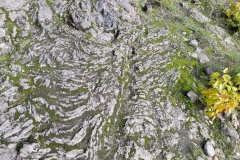
We lunched at, what Rheo calls, the liquid rocks near Woodruff Bridge. Once again, why, how? Need that geology class! We headed back to the trailhead with the gift of a second viewing in the different afternoon light. Cameras going click-click – ha!

I thought I might have done this hike in the past. But, nope, I would have remembered this one! Definitely add it to your fall hiking schedule for next year!

Pictures below by Penny Groth

Upper Rogue River – October 29, 2022

Hike Coordinator: Richard O’Neill

Narration by Richard O’Neill

Misery loves company and I’ve been known to take friends on a hike that made me miserable. However, the opposite can be true in that happy hikers also love company, which is why I took the Friends to the Upper Rogue River. The Upper Rogue is the site of many of our favorite hikes such as Rogue Gorge, Takelma Gorge, Natural Bridge, and Knob Falls. However, north of these iconic places, the Upper Rogue River Trail has not felt the love in terms of trail maintenance and the number of visitors. That’s too bad, for this section is certainly worthy of a visit.

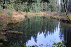
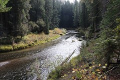
Eight of us set out on the trail from the Big Bend Trailhead and immediately, the tenor of the Rogue River was noticeably different from the aforementioned iconic hikes. Here the Rogue snakes back and forth in a series of serpentine bends, the river seemingly in no hurry to reach the turbulence downstream. The river is placid and serene and the tranquility cannot help but soothe your soul, although it didn’t stop me from making fart jokes.

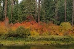
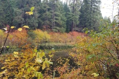
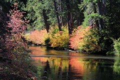
The trail alternated between dark conifer woods and river overlooks from tall cliffs. In the woods, an understory of alder trees with leaves glowing yellow waved the autumn colors. On the ground, tall bracken fern likewise added to the fall vibe while making the trail faint and hard to follow. The tall cliffs were comprised of volcanic ash deposited when Mount Mazama blew its top and created Crater Lake.

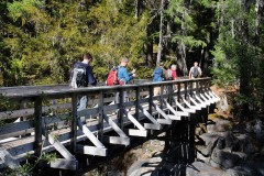
At about the three-mile mark, the trail passed the largest log jam in the world, extending hundreds of yards. The Rogue here, snakes through the logs in an equally large open meadow. The terrain is marshy here, but a large footbridge keeps boots dry and made a logical place to eat lunch at. Several of us continued on into the woods on an increasingly faint trail that led to another picturesque overlook of the mirrorlike river.

On the way back, the forest vegetation was wet as if it had rained but fortunately, the rain missed us. We even enjoyed some sunlight on this cool day, the weather gods refusing to rain on our hiking parade…this time.

More pictures of this hike on Richard O’Neill’s Flickr page

Pictures below by Richard O’Neill

Rogue Gorge Loop – October 2, 2021

Hike Coordinator: Richard O’Neill

This hike was supposed to go to Cliff and Buckeye Lakes, located in the Rogue-Umpqua Divide Wilderness. But due to wildfire closing the road to Skimmerhorn Trailhead we opted to visit the Upper Rogue which had the fall colors thing going on and as an additional bonus, there were no wildfires in the area.

10 hikers set out on the trail and the first item of interest was Rogue Gorge, where the Rogue funnels into a narrow slot canyon that used to be a lava tube before the roof collapsed during some bygone millennia. Also at the Gorge viewpoint area is the Living Stump which is a stump whose roots melded with the roots of nearby trees and so manages to live despite showing no outward signs of life. It kind of reminded me of when I take Lane hiking with me! I vote his trail name should become Living Stump!

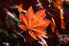
Once we began hiking downstream along the Rogue River, the fall colors became the reason for doing this hike. Every tint and hue that can be found on the warm end of the color spectrum was readily seen in the ample vegetation growing along the river, often all on one single leaf! Across the river and in the bright sunlight, the colors were so bright we had to wear sunglasses so as to prevent further retinal damage.

About halfway to Natural Bridge we switched river sides by walking over a bridge at  particularly scenic stretch of wild river seething in yet another collapsed lava tube. This allowed us to walk in the more brightly colored and more sunlit side even though it meant we had to hike on the only uphill section of trail.

At Natural Bridge, the Rogue disappears from sight while it travels a short distance underground in an uncollapsed lava tube, and reemerges about 100 feet downstream. The sight of the river bounding between boulders was awesome and we all stopped to gawk at the splendor of it all.

After lunch at Natural Bridge, it was a perfunctory 3.5 mile walk along the river. Because the afternoon sun was high in the sky, each side of the river was the sunny side now. Accordingly, we hiked in veritable rainbow of autumn-colored foliage on the way back.

The Upper Rogue, in my opinion, is the best fall hike in southern Oregon and we certainly all enjoyed this hike, it was a great show.

More pictures on Richard O’Neill’s Flickr page and Lane Harris’ Flickr page

Read about this hike on Richard O’Neill’s Blog

YouTube video

Pictures below by Richard O’Neill

Scroll Up